
ngageoint / hootenanny
Hootenanny conflates multiple maps into a single seamless map.
Why this job: works in the areas we cover, but does not say which job it does
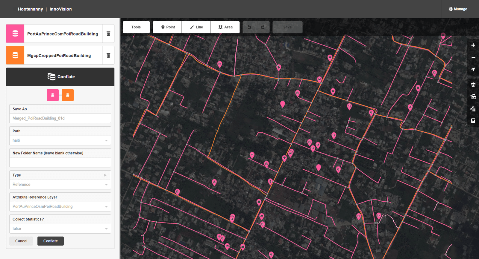

What it does
Hootenanny is an open source map data conflation tool developed with machine learning techniques to facilitate automated and semi-automated conflation of critical Foundation GEOINT features in the topographic domain. In short, it merges multiple maps into a single seamless map.
Get started
No single install command. Read the steps in the README (opens in new tab)
- Maintenance
- Active
- Last commit 8 days ago
- Stars
- 398
- +1 this week
- Licence
- GPL-3.0
- Share-alike terms
- Downloads for
- None listed
- No release files
- Latest version
- v0.2.87
- Released 13 months ago
- Built with
- JavaScript
- 75% of the code
Is it looked after?
- Contributors
- Not stated
- Last 90 days
- Issues
- 94% closed
- 178 still open
- Pull requests
- 2,752 merged
- 15 waiting
- Releases
- 70
- 0 in the last year
- Contributing guide (opens in new tab)
- No security policy
- Code of conduct (opens in new tab)
Similar repos
| Repo | Stars | Last commit | Licence | Downloads for |
|---|---|---|---|---|
| mapbox / robosat | 2,069 | 4 months ago | MIT | No downloads |
| PhiloLabs / fable51-worlds | 530 | 2 months ago | MIT | No downloads |
More: languages, topics and project record
Languages
- JavaScript 75%
- C++ 19%
- Java 4%
- Shell 1%
Topics
- conflation
- openstreetmap
- osm
- machine-learning
- computational-geometry
Project record
- JobOther AI tools
- StatusListed
- Commits10,058
- Forks76
- Watching58
- Stars in 28 days+3
- CreatedJun 13, 2015
- First seen by usNov 7, 2026
- CheckedNov 8, 2026